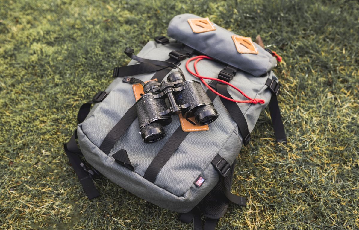

Map reading and navigation are essential map skills that open up a world of outdoor adventure. Whether you’re hiking in the wilderness or backpacking through backcountry trails, having the navigation techniques to find your way is crucial.
Understanding map symbols, contour lines, and map scale will help you interpret the terrain features around you.
By learning how to read a grid reference and navigate using bearings, you’ll be able to plan your routes and find your destination.
From latitude and longitude to coordinates and triangulation, mastering these map reading skills will ensure your outdoor navigation is accurate and enjoyable.
Click here to learn more about survival skills, emergency preparedness, and outdoor gear
Understanding the Fundamentals of Map Reading and Navigation
Being able to navigate and read maps is a crucial skill for outdoor enthusiasts. Whether you’re a beginner or have some experience, understanding the fundamentals of map reading and navigation is essential for a successful outdoor adventure.
With the right navigation tools and techniques, you can confidently explore new trails and find your way back home.
One important aspect of map reading is understanding map symbols and contour lines.
These symbols represent various features like rivers, roads, and elevation changes, while contour lines help you visualize the shape of the land. By interpreting these elements, you can gain a better understanding of the terrain around you.
Another key concept is map scale. This indicates the ratio between the distances on the map and the actual distances on the ground.
By understanding the scale, you can accurately estimate the distance between two points on the map.
Lastly, grid references and bearings are essential for route planning and finding your destination.
Grid references help you pinpoint a specific location on a map, while bearings help you navigate in a specific direction using a compass.
By mastering these fundamentals of map reading and navigation, you’ll be well-equipped to explore the outdoors with confidence and precision.

Developing Map Skills A Beginners Guide
When it comes to developing map skills, beginners may feel overwhelmed by the vast world of map reading and navigation. But fear not! Just like learning any new skill, it takes time, practice, and the right tools to become proficient.
One of the first steps in map reading is understanding map interpretation.
This involves deciphering the meaning behind various map symbols and contour lines.
These elements provide valuable information about the terrain features and elevation changes in the area.
Once you’ve grasped the basics of map interpretation, you can move on to learning about Wayfinding and route planning.
These skills involve using compass bearings and grid references to navigate from one point to another, ensuring you reach your destination with precision.
don’t forget about the modern tools available for navigation! While traditional map and compass are still useful, GPS devices and map apps offer convenience and accuracy. With these navigation devices, you can track your route, find GPS coordinates, and even participate in the exciting adventure of geocaching.
Remember, developing map skills is an ongoing process.Whether it’s hiking through rugged mountains, camping beneath starry skies, or embarking on thrilling adventures, your newfound skills will empower you to embrace the wonders of nature with ease and assurance..
Exploring Different Navigation Techniques for Adventure Seekers
When it comes to outdoor navigation, adventure seekers have a wide range of techniques to choose from. Hiking, backpacking, and wilderness navigation require a solid foundation of map reading skills and navigation techniques.
Understanding the basics of map interpretation, compass navigation, and route planning is crucial for a successful outdoor adventure.
While traditional map and compass are reliable tools, the advent of digital maps and GPS navigation devices has revolutionized the way we navigate.
With handheld GPS receivers and electronic compasses, adventurers can track their routes, find precise coordinates, and ensure accurate navigation. These navigation tools and techniques provide a sense of security and confidence in the backcountry.
Whether you prefer paper maps or digital maps, honing your navigation skills will enhance your outdoor experience and open up a world of , grab your map tools, and let the wilderness be your guide as you embark on an unforgettable adventure filled with endless discoveries, breathtaking landscapes, and a profound connection to nature.
The Importance of Map Interpretation in Outdoor Exploration
Map interpretation plays a vital role in outdoor exploration, serving as the foundation for successful navigation and route finding. Whether you’re a beginner or an experienced adventurer, honing your map reading skills is essential.
By deciphering map symbols, contour lines, and understanding map scale and grid references, you gain the ability to interpret topography and terrain features.
This knowledge enables you to plan routes, determine bearings, and navigate with confidence.
Whether you rely on a compass, GPS, or both, your map reading skills provide a solid understanding of your surroundings, ensuring accurate Wayfinding in any outdoor adventure. So, embrace the power of map interpretation and embark on your next outdoor journey fully equipped with the knowledge to navigate effectively.
| Traditional Map and Compass | Digital Maps and GPS Navigation |
|---|---|
| Require map reading skills and navigation techniques | Track routes and find precise coordinates |
| Provide a solid foundation for outdoor navigation | Revolutionize the way we navigate |
Navigating the Wilderness Using Terrain Features and Land Navigation Techniques
To navigate the wilderness effectively, it is important to understand the different terrain features and utilize land navigation techniques. By honing your map reading skills and gaining a solid understanding of navigation tools and techniques, you can confidently explore the great outdoors.
Terrain features, such as hills, valleys, and rivers, provide valuable clues for navigation.
By studying topographic maps and interpreting contour lines, you can visualize the landscape and plan your route accordingly.
Map interpretation skills also help you identify important landmarks and navigate around obstacles.
In addition to map reading, utilizing navigation tools like a compass or GPS can enhance your outdoor navigation experience.
A compass provides the ability to determine bearings and navigate based on magnetic north or true north. GPS devices, on the other hand, offer precise coordinates and route tracking capabilities.
By combining map reading skills, understanding terrain features, and utilizing navigation tools, you can embark on your outdoor adventure with confidence and ensure a successful journey.
Getting Familiar with Map Symbols and Contour Lines for Accurate Navigation
Map symbols and contour lines are essential components of map reading and navigation. These visual representations provide valuable information about the terrain and help you understand the topography of the area you are exploring.
Just like a compass or GPS guides you on your journey, map symbols and contour lines act as your navigational aids, guiding you through the wilderness.
Map symbols are graphic illustrations that represent various features such as roads, buildings, rivers, and landmarks.
They allow you to quickly identify and locate important points of interest on a map. On the other hand, contour lines depict the elevation and shape of the land, providing a three-dimensional representation on a two-dimensional map.
Understanding map symbols and contour lines is crucial for accurate navigation. They enable you to interpret the landscape, plan your route, and make informed decisions while you immerse yourself in the outdoor adventure.
So, whether you are a beginner or an experienced outdoor enthusiast, getting familiar with map symbols and contour lines is a fundamental step in mastering the art of navigation.
Land Navigation
- Topographic maps provide detailed information about the terrain features
- Contour lines on maps help visualize the elevation changes in the landscape
- A compass allows for accurate determination of bearings and navigation based on magnetic north or true north
- GPS devices offer precise coordinates and route tracking capabilities for efficient navigation
Exploring Map Scale and Grid References for Precision Navigation
Map scale and grid references are two important aspects of map reading and navigation. Map scale refers to the ratio between the distance on the map and the actual distance on the ground.
It helps determine the size and level of detail of the map.
Grid references, on the other hand, are a method of pinpointing specific locations on a map using a grid system of vertical and horizontal lines.
Understanding map scale is crucial for accurate measurements and distance calculations. It allows you to estimate the distance between two points on the map and plan your route accordingly.
Grid references, on the other hand, provide precise coordinates for specific locations. They are useful for pinpointing landmarks, trailheads, or other points of interest.
By mastering map scale and grid references, you can navigate with precision and confidence, ensuring that you stay on track and reach your destination efficiently.
These skills are essential for hikers, backpackers, and outdoor enthusiasts who rely on maps for wilderness navigation.
So, whether you are a beginner or an experienced navigator, honing your map reading and navigation skills will enhance your outdoor adventures.
Navigating with Compass and GPS Understanding Bearings and Coordinates
One of the key components of navigating with a compass and GPS is understanding bearings and coordinates. Bearings are the angles measured in degrees between a reference direction, typically north, and the direction of an object or destination.
They help you determine the direction in which you need to travel.
Coordinates, on the other hand, are a set of numbers that indicate a specific location on a map or the Earths surface.
They consist of latitude and longitude measurements and are used to pinpoint exact positions. By mastering bearings and coordinates, you can effectively navigate through various terrains and achieve your outdoor navigation goals.
The Difference Between Magnetic North and True North in Map Reading
When it comes to map reading and navigation, understanding the difference between magnetic north and true north is crucial. Magnetic north refers to the direction indicated by a compass needle, which is influenced by the Earths magnetic field.
On the other hand, true north is the direction towards the North Pole, as defined by the Earths axis of rotation.
The variance between magnetic north and true north is known as declination.
Its important to take declination into account when using a compass for navigation, as failing to do so can lead to errors in route planning and bearings. By learning how to interpret maps and adjust for declination, beginners can improve their map reading skills and navigate with confidence in any outdoor adventure.
Enhancing Your Map Reading Skills Tips and Strategies for Successful Wayfinding
One of the fundamental skills in map reading and navigation is understanding the concept of declination. Declination refers to the variance between magnetic north and true north.
While magnetic north is the direction indicated by a compass needle, true north is the direction towards the North Pole.
To navigate accurately, it is crucial to take declination into account when using a compass.
Failing to do so can result in errors in route planning and bearings. By learning how to interpret maps and adjust for declination, beginners can enhance their map reading skills and confidently navigate through any outdoor adventure.
To further improve your map reading abilities, consider enrolling in a map reading course or participating in orienteering events. These activities offer hands-on experience and practical exercises to sharpen your navigation techniques and enhance your overall map reading skillsRemember, practice makes perfect, so don’t be discouraged by initial failures and keep striving for improvement.
| Magnetic North | True North | Declination |
|---|---|---|
| Direction indicated by compass needle | Direction towards the North Pole | Variance between magnetic north and true north |
The Importance of First Aid Skills in a Survival Situation
Understanding the Basics of Water Purification in Survival Scenarios